Robert S. Kerr Collection
Collection
Identifier: CAC-CC-031
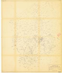
Isohyetal Map: Storm of 9-13 July 1951 (MR 10-2), 1951-08-24
Digital Record
Identifier: 489ca61209bcc01723f0da2d8aa8eb67d
Isohyetal Map: Storm of 13-19 May 1951 (Preliminary Storm Study Investigation), 1951-08-01
Digital Record
Identifier: cb2ab337af0c035f74d87abc47d27e2dd
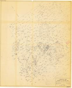
Isohyetal Map: Storm of 13-19 May 1951 (Preliminary Storm Study Investigation), 1951-08-01
Digital Record
Identifier: 151cd8e2bb0bdbe251970126c65dee80d
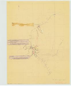
Keystone Dam Blasting Area Plan, 1960-01-01 - 1960-12-31
Digital Record
Identifier: 888c43c9ced6f7dc5e0929573fa70f09d
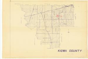
Kiowa County, 1956-06-13
Digital Record
Identifier: 46197df3a199cdc6a66367a92df85d64d
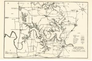
Lake Texoma Home Site Areas, 1945-06-01
Digital Record
Identifier: dc2a9515841675383826e70122602460d
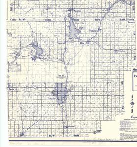
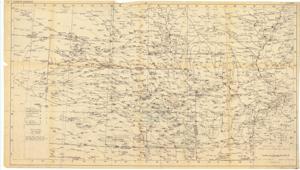
Lawton County, Oklahoma, 1940-01-01 - 1961-12-31
Digital Record
Identifier: 2598f5b0fce21d88028a87a46d20781ed
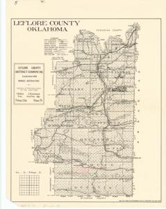
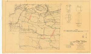
Le Flore County, Oklahoma, 1951-01-11
Digital Record
Identifier: f241a1efd45d27441e4506c4b00ee6add
Le Flore County, Oklahoma, General Highway Map - Digitized, 1954-01-01 - 1954-12-31
Digital Record
Identifier: a26d3fecb8245db8c26c865b334baac6d
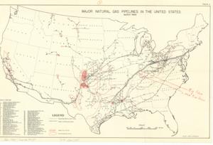
Major Natural Gas Pipelines in the United States, 1949-03-01
Digital Record
Identifier: 365fa6e7098726e831d2b9ccf4112361d