Robert S. Kerr Collection
Collection
Identifier: CAC-CC-031
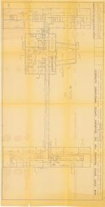
Emergency Operating Complex for Oklahoma Capitol Improvement Authority - Digitized, 1950-01-01
Digital Record
Identifier: e714494b85fa3791dccccaa301947474d
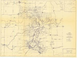
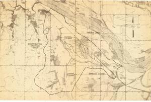
Eufaula Dam and Reservoir, Reservoir Area, 1956-01-10
Digital Record
Identifier: 4e2c50d0ae6b914210e2a594f922fe67d
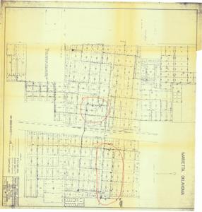
Existing Water System, Marietta, Oklahoma, 1962-10-10
Digital Record
Identifier: f1099e3ff43ead8a06a33bfdab2ea68fd
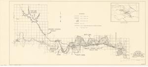
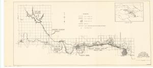
Flood of August 27-29, 1947, Little River and Tributaries, 1947-01-01 - 1974-12-31
Digital Record
Identifier: fb57e3ab5fd19da1333598d95f963d5ed
Flood Prevention Project Overview for Bixby, Oklahoma, 1945-01-01 - 1945-12-31
Digital Record
Identifier: ccfdf44ae23f0f54c34169a09bf00547d
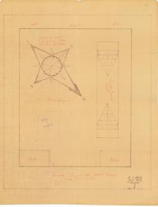
Floor Plan of Play Room, 1937-01-01 - 1962-12-31
Digital Record
Identifier: 4f4d75d12736b44b39392bfad3df6c4ad
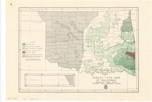
Forest Type Map of Oklahoma, 1940-12-12
Digital Record
Identifier: 35763a7c907242452ba9e99e1f1798edd
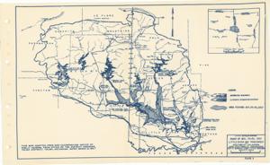
Fort Cobb Project: General Map and Land Classification, 1951-06-19
Digital Record
Identifier: 07d28c9c661c26687f9da5ac6f16a3ffd
Fort Cobb Project, Initial Phase: General Land Map and Land Classification, 1951-04-10
Digital Record
Identifier: 7613c0afbba60b6bbdf0819477352e40d
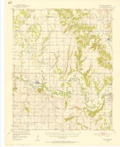
Fort Cobb Quadrangle, Caddo County, Oklahoma, 1952-01-01 - 1952-12-31
Digital Record
Identifier: 7f5bb409d64f572044622233dba90036d