Robert S. Kerr Collection
Collection
Identifier: CAC-CC-031
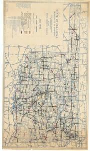
Map Showing Condition of Improvement of the State Highway System, 1945-06-06
Digital Record
Identifier: f29ed70eb009204d2773e1f686a14565d
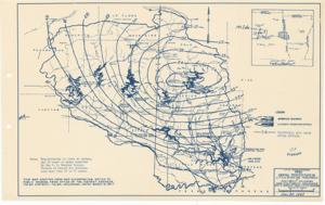
Map Showing Isohyetals for Storm of May 17, 1949 and Locations of Discharge Determinations, 1949-01-01 - 1949-12-31
Digital Record
Identifier: c26b20742c17263b35305dfe7330fd94d
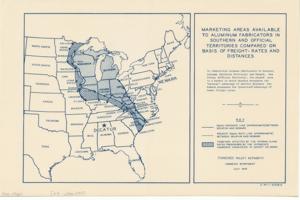
Marketing Areas Available to Aluminum Fabricators in Southern and Official Territories Compared on Basis of Freight-Rates and Distances, 1945-07-01
Digital Record
Identifier: 13e984ad80e77676565001ab047b6812d
Found in:
Carl Albert Center Congressional and Political Collections
/
Robert S. Kerr Collection
/
Maps, 1889-01-01 - 1962-12-31
/
O-8, 1934-01-01 - 1962-12-31
/
Marketing Areas Available to Aluminum Fabricators in Southern and Official Territories Compared on Basis of Freight-Rates and Distances, 1945-07-01
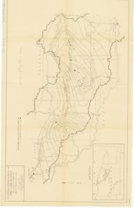
Mean Annual Precipitation, Little River and Tributaries, 1947-12-30
Digital Record
Identifier: 379edec67b502b62fc582a19f9443eb1d
Mill Creek Watershed: Flood Control Work Plan, 1949-12-09
Digital Record
Identifier: 5b0a32b4cbe077d7cc2045bbe80d3965d
Minnesota-Ontario Border Lakes, Saganaga Lake, 1955-11-01
Digital Record
Identifier: 96d924f5f8a41459521cb87c717bcf2ed
Moore County, Texas, 1936-05-12
Digital Record
Identifier: 81374dc4f774ff5336ccf81595877bb3d
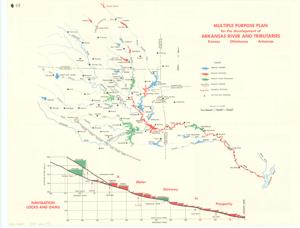
Multiple Purpose Plan for the development of Arkansas River and Tributaries - Digitized
Digital Record
Identifier: e0306a88ff180c11cbac6f9675572095d
Navigation and Water Supply Studies, 1955-03-01
Digital Record
Identifier: 084c706cb9eafae42d1e442ebda406add
Nebraska, 1952-04-01
Digital Record
Identifier: 7518f7c673ddfa8f8c0105c52e1f4dafd