Robert S. Kerr Collection
Collection
Identifier: CAC-CC-031
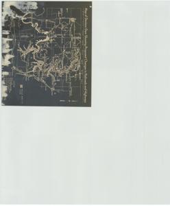
Map of Denison Dam Showing Proposed Changes in Railroads and Highways, 1936-01-01 - 1961-12-31
Digital Record
Identifier: 4c55911e7c7c351851c67c61ebb5af73d
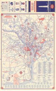
Map of Metropolitan Washington, 1954-01-01 - 1954-12-31
Digital Record
Identifier: 1feb25f90c4a492571797d5bb07b31dbd
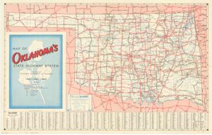
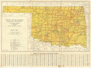
Map of Oklahoma's State Highway System, 1948-01-01 - 1948-12-31
Digital Record
Identifier: eded9c631fbea76c06a71479e2d9ad2bd
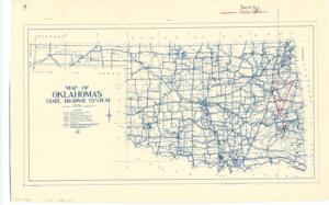
Map of Oklahoma's State Highway System, 1950-01-01 - 1950-12-31
Digital Record
Identifier: 1840bddb780607ec951276844335fde3d
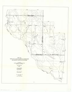
Map of Parts of Alfalfa, Garfield, Kingfisher, and Major Counties, Oklahoma, 1939-01-01 - 1974-12-31
Digital Record
Identifier: 2ba21da0478447405f80029e5383e3ecd
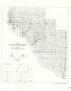
Map of Parts of Alfalfa, Garfield, Kingfisher, and Major Counties, Oklahoma, 1939-01-01 - 1974-12-31
Digital Record
Identifier: 6e7f1c12c3599de137558f8ca8f5af02d
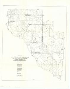
Map of Parts of Alfalfa, Garfield, Kingfisher, and Major Counties, Oklahoma Showing Thickness of Saturated Terrace Deposits, 1939-01-01 - 1974-12-31
Digital Record
Identifier: b630bf0c12d78087582975c4422eb687d
Found in:
Carl Albert Center Congressional and Political Collections
/
Robert S. Kerr Collection
/
Maps, 1889-01-01 - 1962-12-31
/
O-7, 1939-01-01 - 1974-12-31
/
Map of Parts of Alfalfa, Garfield, Kingfisher, and Major Counties, Oklahoma Showing Thickness of Saturated Terrace Deposits, 1939-01-01 - 1974-12-31
Map Showing Condition of Improvement of the State Highway System, 1940-04-01
Digital Record
Identifier: c60b674ed556b02a17f6e695cc7dd2a2d
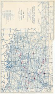
Map Showing Condition of Improvement of the State Highway System, 1944-06-01
Digital Record
Identifier: b242a7d8046bcfc74722c8e2511584bfd
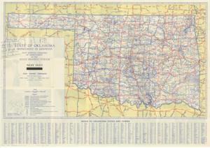
Map Showing Condition of Improvement of the State Highway System, 1945-05-01
Digital Record
Identifier: 205f099f15dead3a2bbfa070a451ac02d