Robert S. Kerr Collection
Collection
Identifier: CAC-CC-031
1960 Oklahoma Road Map, 1960-01-01 - 1960-12-31
Digital Record
Identifier: b58715e8f0cb5e872c9136d3bee6db79d
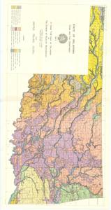
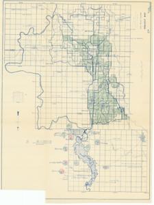
A Game Type Map of Oklahoma, 1943-01-01 - 1943-12-31
Digital Record
Identifier: 7a98860adca39fc0831f62d9f221f602d
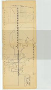
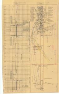
Access Roads, Mayes County and G. R. D. A. [Grand River Dam Authority], Industrial Area, 1951-08-08
Digital Record
Identifier: b42f7d9d7cd5454d7abfc054a74eb6e3d
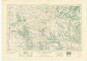
Alaska, 1955-01-01 - 1955-12-31
Digital Record
Identifier: a0218a01b90ee8db0d72bfda68ffb56ad
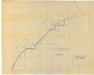
Alignment-Typical Section: Proposed Farm-Market Road, Alfalfa County, Oklahoma, 1952-05-01
Digital Record
Identifier: 612203676f516723ad2a6a129d604db0d
Altus Project-Oklahoma, Project Map, 1943-09-03
Digital Record
Identifier: 54b6eca7a9fa6facbda3cf81bcde38c4d
Ardmore, 1952-01-01 - 1952-12-31
Digital Record
Identifier: 329988a097b0f405e3859bc494142e94d
Area Plan of Proposed State Highway: Federal Aid Project No. FAP-F-351 (1) - Digitized, 1956-05-15
Digital Record
Identifier: e4505c376440435d20fe5c66f8144ba7d
Areas of Principal Ground-Water Investigation in the Arkansas, White, and Red River Basins, 1953-01-01 - 1953-12-31
Digital Record
Identifier: d93f13f385b3741b5546e6173212024cd
Ariel Survey of Oklahoma State Highway 21, 1955-11-17
Digital Record
Identifier: 6ac59995ea97a6234d55ef06deff43f1d