John William "Elmer" Thomas Collection
Collection
Identifier: CAC-CC-053
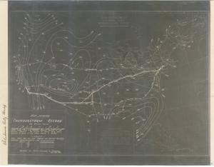
Thunderstorm Record for a Ten Year Period, 1903-1913, 1929-11-21
Digital Record
Identifier: 8675bdb6891eb1b8d617267de627e2bad
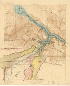
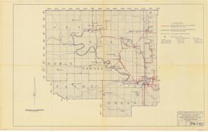
Topographical Map of Colorado River Valley, 1921-01-01 - 1921-12-31
Digital Record
Identifier: 087caa15c6a0ae2c3c94e7b21977103ed
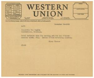
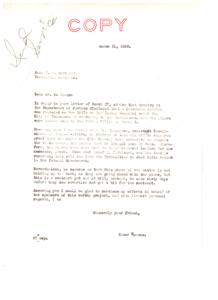
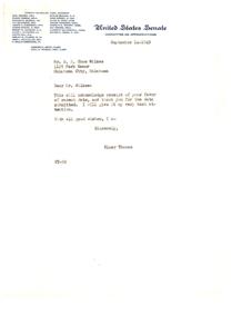
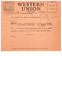
Transcripts of Telegraphic Communications Between Elmer Thomas and Tom Anglin in 1935, 1935-01-01 - 1935-12-31
Digital Record
Identifier: 0a1b911fee4fb7d79f36c2d8a8c826ddd
Found in:
Carl Albert Center Congressional and Political Collections
/
John William "Elmer" Thomas Collection
/
Subject, 1906-1951
/
Indian Affairs, General and Miscellaneous, Jan.-Dec., 1935
/
Transcripts of Telegraphic Communications Between Elmer Thomas and Tom Anglin in 1935, 1935-01-01 - 1935-12-31
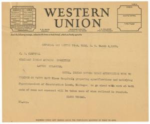
Transfer of Indian Hospital Title to Federal Government: A Correspondence between Elmer Thomas and R.I. Hestiaga, 1936-03-31
Digital Record
Identifier: 5ff5fcd3dc2b529cde414862e84c9556d
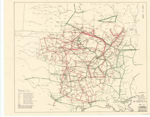
Transmission Systems of the Public Service Company of Oklahoma Area and Indian Electric Cooperative, Inc., 1948-08-28
Digital Record
Identifier: cd343ce4c1389dd0cad81634bbea8610d
Twenty-year Development Plan for the S.P.A. (Southwestern Power Administration), 1945-01-01 - 1945-12-31
Digital Record
Identifier: 475bc56c4d123e82cf94bf56e2afcc0ad
Uncovering the Truth: The Misrepresentation of American Indians in History, 1949-05-02
Digital Record
Identifier: 0b48957279836161335db4bfd01cf798d
Found in:
Carl Albert Center Congressional and Political Collections
/
John William "Elmer" Thomas Collection
/
Legislative, 1865-1958
/
Interior and Insular Affairs, Committee on, Indian Affairs, Alaskan Settlement Claims, 1948-1949, 1950, 1948-01-01 - 1950-12-31
/
Uncovering the Truth: The Misrepresentation of American Indians in History, 1949-05-02
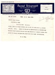
Understanding Telegraph Communication Terms and Conditions, 1935-01-01 - 1936-12-31
Digital Record
Identifier: c719d84bed6ec1b3cd81bcdbb5474d4dd
Understanding the Class of Service and Terms for Western Union Telegraph Services, 1936-05-21
Digital Record
Identifier: daba36397d7847ed6d2aa42d0000f3add
Understanding the Class of Service in Western Union Telegraph Communication: A Historical Document from 1935, 1935-01-01 - 1935-12-31
Digital Record
Identifier: d73ef679c1fe3172a930f26bc16cd20ad
Found in:
Carl Albert Center Congressional and Political Collections
/
John William "Elmer" Thomas Collection
/
Subject, 1906-1951
/
Indian Affairs, Hospitals, 1935-1947
/
Understanding the Class of Service in Western Union Telegraph Communication: A Historical Document from 1935, 1935-01-01 - 1935-12-31