John William "Elmer" Thomas Collection
Collection
Identifier: CAC-CC-053
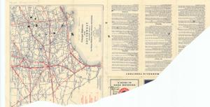
Oklahoma Principal Highways, 1913-01-01 - 1950-12-31
Digital Record
Identifier: 86868d038ddf7a5add8e7a236baa12d5d
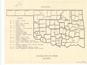
Oklahoma State Cotton Exchange Crop Reports, 1913-01-01 - 1950-12-31
Digital Record
Identifier: 05e1f017b408657e00a8d533c9ddc5e4d
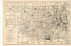
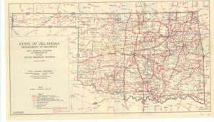
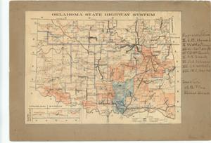
Oklahoma, State Highway System, 1913-01-01 - 1950-12-31
Digital Record
Identifier: f56dda86ca2f1c18048c10c5fd6477f4d
Oklahoma, State Highway System, 1930-01-01 - 1930-12-31
Digital Record
Identifier: 6487e25a8ce347fe66581e239a401389d
Oklahoma, State Highway System, 1931-07-01
Digital Record
Identifier: 1faa26d63d6c4c0ae6655512bccc2f7bd
Oklahoma State Highway System, 1939-04-01 - 1939-04-30
Digital Record
Identifier: 2ca110bc59a83921adc6295a82392cc5d
Oklahoma, State Highway System, 1940-04-01 - 1940-04-30
Digital Record
Identifier: 40a14ac58dc9e9f546692302dfcca586d
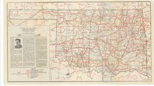
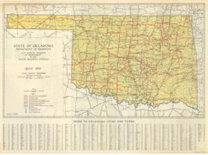
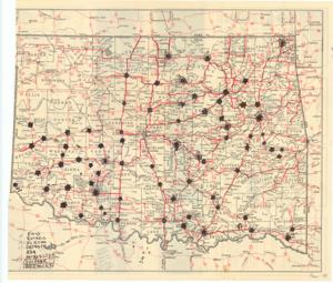
Oklahoma State Highway System Map, 1948-01-01 - 1948-12-31
Digital Record
Identifier: 24be9fca1cabfa7bb1ff74a8516f069ad
Oklahoma State Highway System, Representatives, 1925-01-01 - 1925-12-31
Digital Record
Identifier: 882f478dc5841f0ac0f9cbe43a9f3ff9d
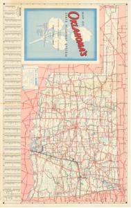
Oklahoma, State Highways, 1930-07-01
Digital Record
Identifier: 27da36849605ede1e509202ef9c93d09d