Robert S. Kerr Collection
Collection
Identifier: CAC-CC-031
Fort Gibson Reservoir, Project Recreation Areas, 1946-04-01
Digital Record
Identifier: af1b700b7b8c44514bd52b4451600118d
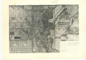
Fort Sill Indian School Land Leased by Cameron, 1940-01-01 - 1961-12-31
Digital Record
Identifier: dd0610c4f13551de945acf574a2653add
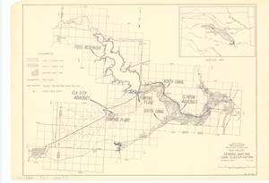
Foss Project: General Map and Land Classification, 1951-07-12
Digital Record
Identifier: be249787e06a55b51ece06f84c40ef3bd
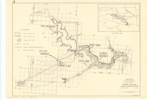
Foss Project: General Map and Land Classification, 1951-07-12
Digital Record
Identifier: f39836e3afdcdd7a105dae13fc421047d
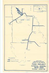
Foss Project, Potential Municipal Water Users, 1953-01-01 - 1953-12-31
Digital Record
Identifier: 05b47a4de74134f750c5578881de04ffd
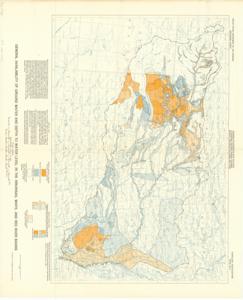
General Availability of Ground Water and Depth to Water Level in the Arkansas, White, and Red River Basins, 1953-01-01 - 1953-12-31
Digital Record
Identifier: 59c6f31feb94ed49a4c607ea337d1adfd
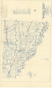
General Highway and Transportation Map, McCurtain County, Oklahoma, 1937-12-31
Digital Record
Identifier: 5ac528a06717219c8dad208cdb7d7839d
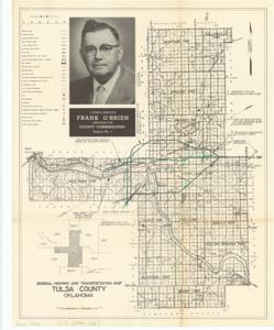
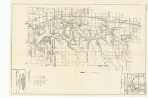
General Highway and Transportation Map, Tulsa County, Oklahoma, 1945-01-01 - 1962-12-31
Digital Record
Identifier: 94eef3fa10b431bf6dfa62ee41b96da7d
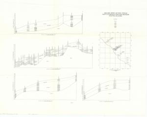
Geologic Cross Sections Through Parts of Garfield, Kingfisher, and Major Counties, Oklahoma, 1939-01-01 - 1974-12-31
Digital Record
Identifier: 77ab964b7098f0734427910aa75fe6f9d
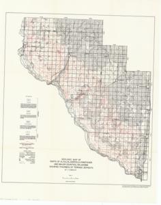
Geologic Map of Parts of Alfalfa, Garfield, Kingfisher, and Major Counties, Oklahoma Showing Thickness of Terrance Deposits, 1939-01-01 - 1974-12-31
Digital Record
Identifier: 3f659c5d657c8f5d131ff05eeea82b4cd
Found in:
Carl Albert Center Congressional and Political Collections
/
Robert S. Kerr Collection
/
Maps, 1889-01-01 - 1962-12-31
/
O-7, 1939-01-01 - 1974-12-31
/
Geologic Map of Parts of Alfalfa, Garfield, Kingfisher, and Major Counties, Oklahoma Showing Thickness of Terrance Deposits, 1939-01-01 - 1974-12-31