Robert S. Kerr Collection
Collection
Identifier: CAC-CC-031
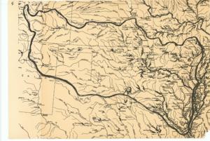
Boundary Map of the Arkansas-White-Red Basins, 1940-01-01 - 1961-12-31
Digital Record
Identifier: e89a78a2ac68a1a5af82392d04a775e1d
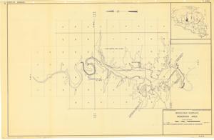
Broken Bow Reservoir: Reservoir Area, 1945-01-01 - 1960-12-31
Digital Record
Identifier: 9680bf5c4678bb0e7a32f7bb86a9520ad
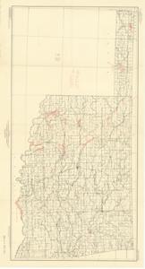
Bureau of Reclamation Projects in Oklahoma, 1946-01-01 - 1946-12-31
Digital Record
Identifier: 4a2cc2680f6eb37d52046ad86d86ead8d
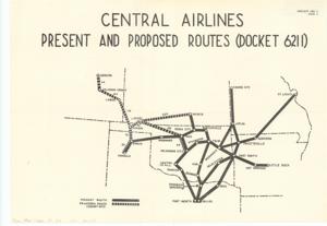
Central Airlines Present and Proposed Routes (Docket 6211), 1956-06-25
Digital Record
Identifier: 34a8703f5897f9e5911221304f9d1018d
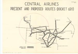
Central Airlines Present and Proposed Routes (Docket 6211), 1956-06-29
Digital Record
Identifier: a041935786bdefef1bfdb8f6d08a5ac8d
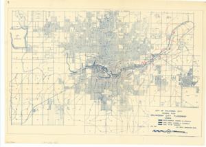
City of Oklahoma City General Plan: Oklahoma City Floodway, 1951-11
Digital Record
Identifier: b0739322bc05b37c7a67d2911c08ee95d
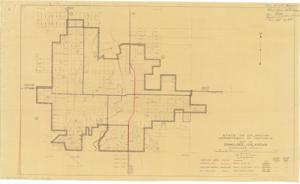
City of Okmulgee, Oklahoma, Okmulgee County, 1948-01-01 - 1948-12-31
Digital Record
Identifier: 35db5fdb21ae8b84a89999f6326a475fd
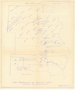
Coal Producing and Market Area, State of Oklahoma, 1939-01-01 - 1974-12-31
Digital Record
Identifier: 1f0b1dd9301fd8f108d1d460f536b12fd
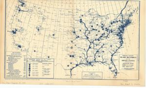
Commercially Navigable Inland Waterways of the United States, 1954-12-20
Digital Record
Identifier: 59a81d861d9ecc90ee4089822ac7784dd
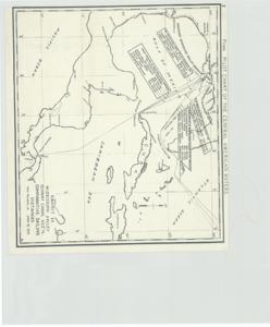
Comparative Sailing Distances, 1945-06-12
Digital Record
Identifier: 67910fac144ffa7f774d996e8780e558d