Robert S. Kerr Collection
Collection
Identifier: CAC-CC-031
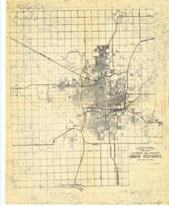
Authorized and Proposed Urban Highways, Oklahoma City Area, 1953-02-01
Digital Record
Identifier: 4d78f1bd539ab3cd2202a564968f831cd
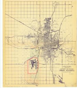
Authorized and Proposed Urban Highways, Oklahoma City Area - Digitized, 1953-02-01 - 1953-02-28
Digital Record
Identifier: 1fe49f98fd2b7f24d81e26adf03fee17d
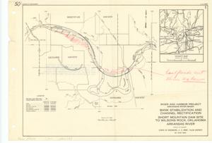
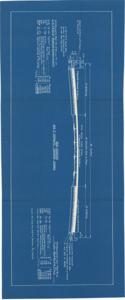
Bank Stabilization and Channel Rectification: Short Mountain Dam Site to Wilson Rock, Oklahoma, Arkansas River, 1955-06-30
Digital Record
Identifier: 00ec86f22df078e646de2fefaf0b2759d
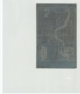
Bank Stabilization and Channel Rectification: Short Mountain Dam Site to Wilson Rock, Oklahoma, Arkansas River, 1955-06-30
Digital Record
Identifier: 1d90493477cfd3ba057ad7089b1777c5d
Base Widening and 3" Asphaltic Concrete Surface
Digital Record
Identifier: cc8a93e2185c697f8764b09428135f0cd
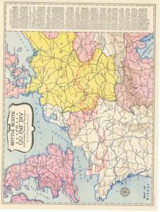
Battle Route of the 90th Infantry Division in the European Theater of Operations, 1945-06-01
Digital Record
Identifier: cb49e77640782b0178437ba5c1e7ac6bd
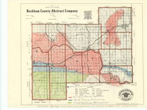
Beckham County, Oklahoma
Digital Record
Identifier: 8f3e39633a75fae72402e64b5a838a83d
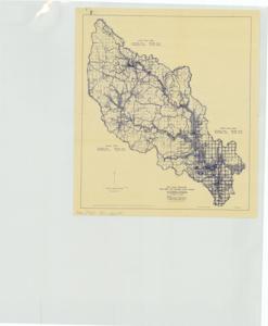
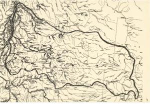
Bird Creek Watershed, 1960-03-25
Digital Record
Identifier: 323908af66348acf1c4e871ef6aba802d

Blueprint of Rock Crusher to be installed at Oklahoma Sub-Prison at Stringtown, Oklahoma, 1944-10-09
Digital Record
Identifier: f5244c87ec92e0918c8d283c2783b090d
Boundary Map of the Arkansas-White-Red Basins, 1940-01-01 - 1961-12-31
Digital Record
Identifier: 26c6e6e0280444c7f8071e9f18ccdf3ed