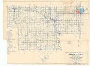
General Highway and Transportation Map, Garvin County, Oklahoma, 1936-01-01 - 1936-12-31
Digital Record
Identifier: 43308457202e6f96736ebafa9404f9b8d
Repository Details
Part of the Carl Albert Center Congressional and Political Collections Repository