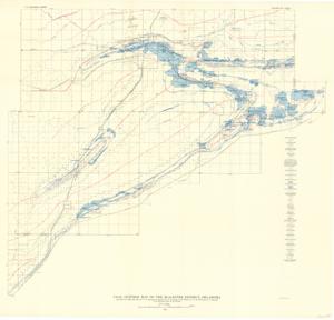
Coal Outcrop Map of the McAlester District, Oklahoma, 1936-01-01 - 1936-12-31
Digital Record
Identifier: ee474da1d06e819ce537b730a7097acfd
Repository Details
Part of the Carl Albert Center Congressional and Political Collections Repository