City of Enid, Oklahoma Zoning District Map, 1913-01-01 - 1950-12-31
Scope and Contents
Create a concise and logical summary using the title "Site Map by the Zoning Commission" and the text in the summary.
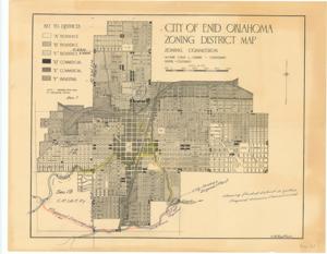
This site map, prepared by the Zoning Commission, illustrates key features such as Boggy Creek, a Proposed Drainage Ditch, the City Sewage Disposal Plant, and a proposed cut-off. It highlights the flooded district in yellow and the proposed diversion channel in red, while being associated with the 73rd Congress, OK, Flood Control Projects, and Enid.
Dimensions: Not specified.
Dates
- Creation: 1913-01-01 - 1950-12-31
Creator
- From the Collection: Thomas, Elmer, United States Senator from Oklahoma (1927-1951); U.S. House of Representatives from Oklahoma's 6th district (1923-1927); Member of the Oklahoma Senate (1907-1920), 1876-1965 (Person)
Language of Materials
English
Conditions Governing Access
Certain series of this collection are stored off-site and require prior notice to access. If you wish to view these materials, please contact the Congressional Archives staff to arrange an appointment.
The following series are stored off-site: Constituent Services, Miscellaneous, and Office Series.
Full Extent
1 pages
Abstract
63rd (1913-1915); 64th (1915-1917); 65th (1917-1919); 66th (1919-1921); 67th (1921-1923); 68th (1923-1925); 69th (1925-1927); 70th (1927-1929); 71st (1929-1931); 72nd (1931-1933); 73rd (1933-1935); 74th (1935-1937); 75th (1937-1939); 76th (1939-1941); 77th (1941-1943); 78th (1943-1945); 79th (1945-1947); 80th (1947-1949); 81st (1949-1951)
Topical
Repository Details
Part of the Carl Albert Center Congressional and Political Collections Repository