Territorial Limits of the Southwestern Division of the Corps of Engineers, 1939-05-01 - 1939-05-31
Scope and Contents
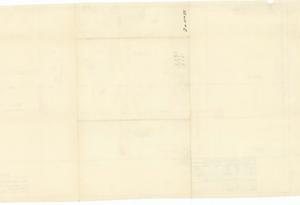
Create a concise and logical summary using the title "Coverage map by War Department, U.S. Army Corps of Engineers" and the text "Depicts dams, rivers, and district lines."
This is a coverage map produced by the War Department, U.S. Army Corps of Engineers, illustrating key features such as dams, rivers, and district lines.
Dimensions: Not specified in the provided data.
Dates
- Creation: 1939-05-01 - 1939-05-31
Creator
- From the Collection: Thomas, Elmer, United States Senator from Oklahoma (1927-1951); U.S. House of Representatives from Oklahoma's 6th district (1923-1927); Member of the Oklahoma Senate (1907-1920), 1876-1965 (Person)
Language of Materials
English
Conditions Governing Access
Certain series of this collection are stored off-site and require prior notice to access. If you wish to view these materials, please contact the Congressional Archives staff to arrange an appointment.
The following series are stored off-site: Constituent Services, Miscellaneous, and Office Series.
Full Extent
1 pages
Abstract
76th (1939-1941)
Repository Details
Part of the Carl Albert Center Congressional and Political Collections Repository