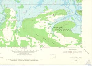
"Topographic Map Details of Lake Wister State Park", 1937-01-01 - 1967-12-31
Digital Record
Identifier: 9df615a76bb9516306ffd0b8a9a016e6d

Repository Details
Part of the Carl Albert Center Congressional and Political Collections Repository
